Log in
All resources
Create a design
254 Free Images of Old Maps Of Europe
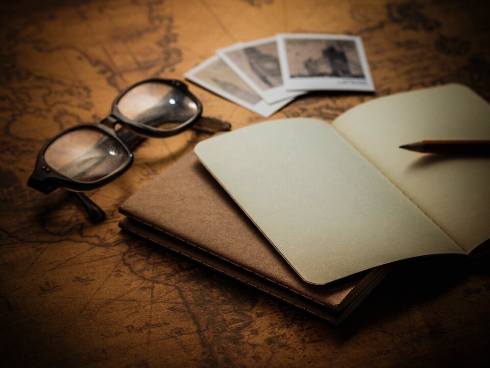
travel
vacation
tourism
style
holiday
wood
antique
trip
view
business
building
maps
travel
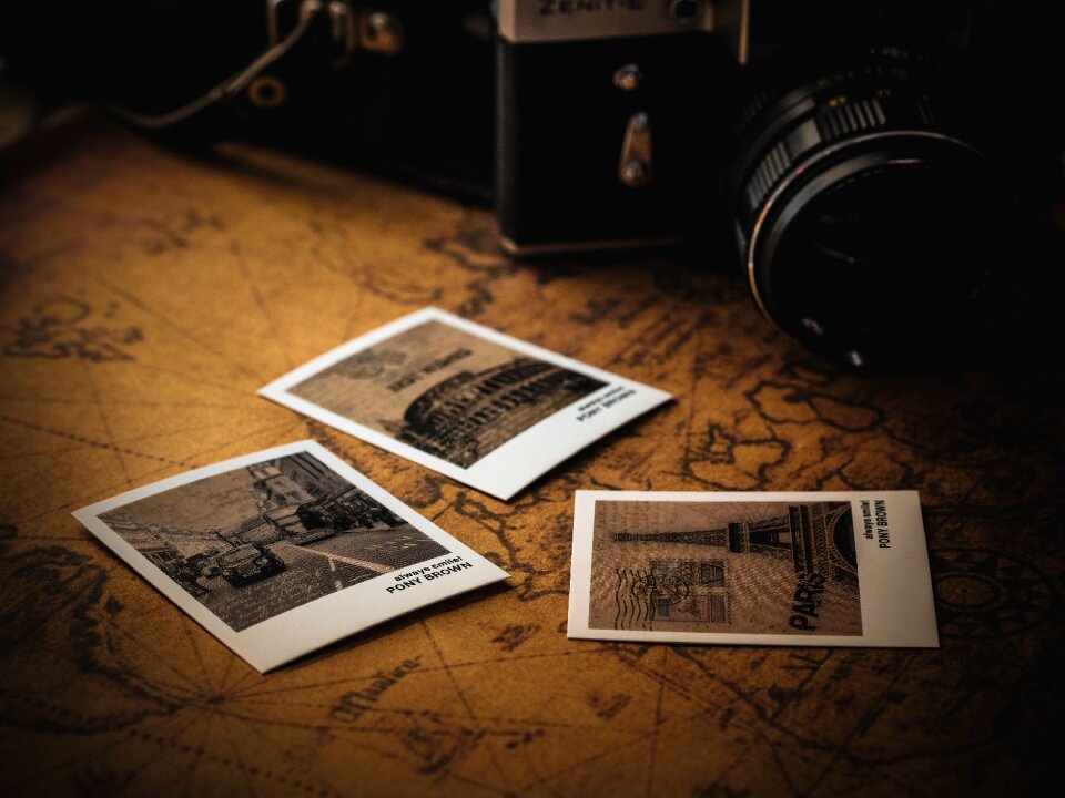
maps
russo-turkish war (1877–1878) in art
great eastern crisis (1875–78)
travel
maps
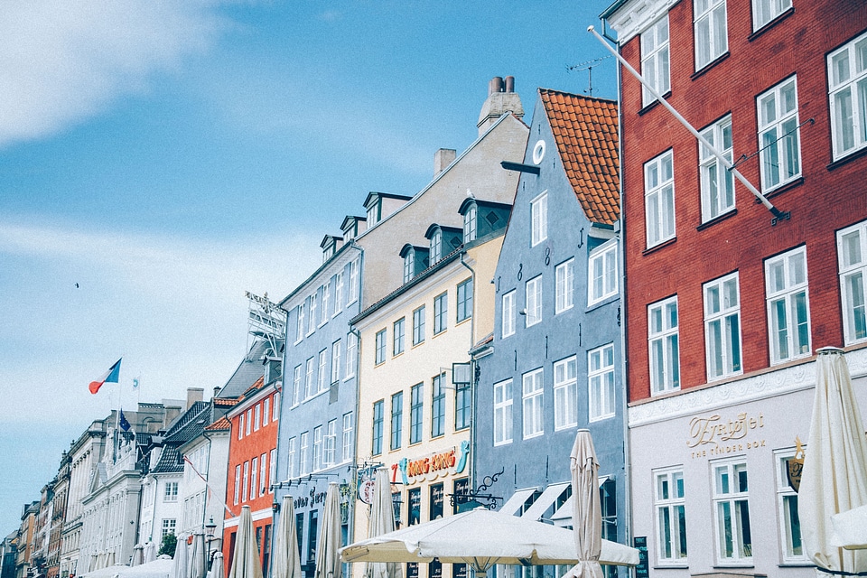
travel
maps
travel
maps
travel
maps
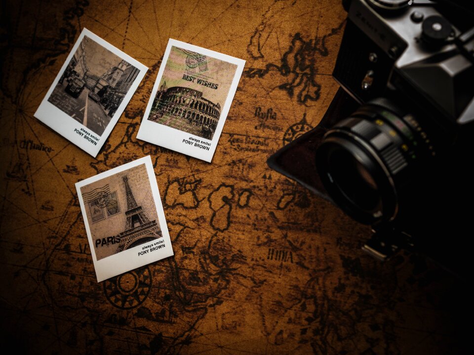
symbol
maps
travel
maps
travel
maps
travel
maps
travel
maps
travel
maps
travel
maps
travel
maps
travel
maps
travel
maps
maps by john cary
county of tyrol
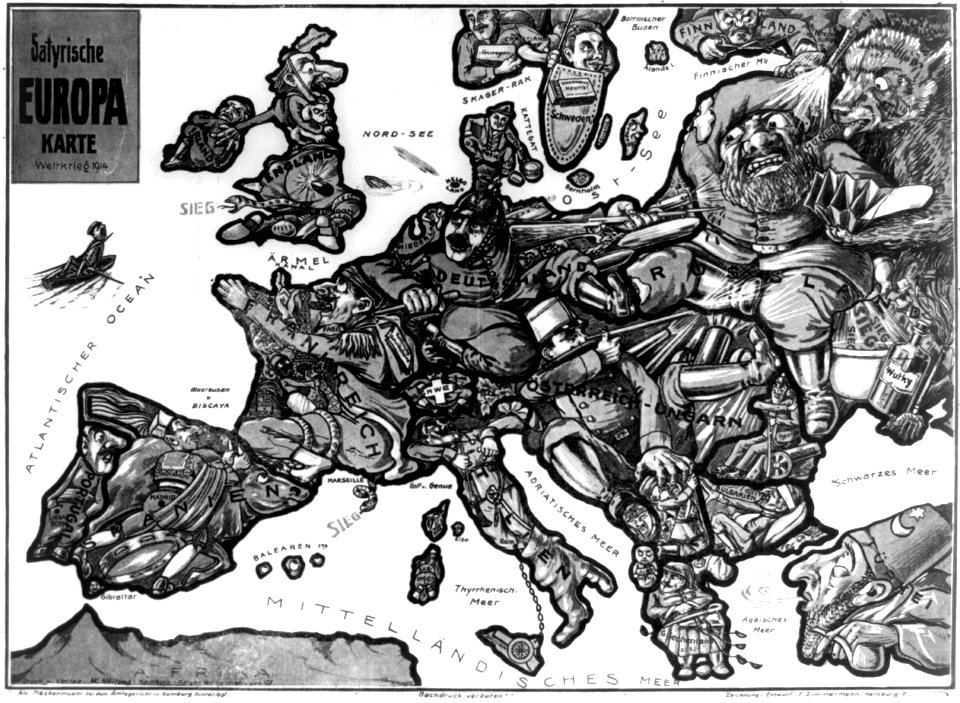
old cartoon maps of europe
1870 cartoons
1550s maps of the iberian peninsula
renaissance
jean étienne guettard
philippe buache
maps by cornelis anthonisz.
1560 maps of europe
17th-century maps of the black sea
maps by willem and johannes blaeu
1801 maps of europe
maps by john cary
animals
maps
jean étienne guettard
philippe buache
old maps showing history
1820s maps of europe
1690s maps of eastern europe
maps by carolus allard
maps by willem and johannes blaeu
17th-century maps of europe
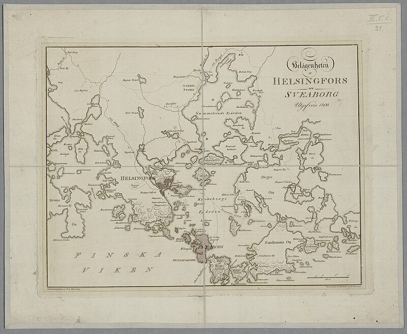
media from the national library of finland
classicism
media from the national library of finland
classicism
media from the national library of finland
classicism
maps by john cary
county of tyrol
old maps of geraardsbergen
1649 in europe
magni ducatus lithuaniae
dnieper in ukraine
media from the national library of finland
classicism
18th-century maps of western europe
jean étienne guettard
media from the national library of finland
classicism
old maps of north holland
old maps of kennemerland
old maps of great britain
1250s maps
maps of paris from bibliothèque nationale de france
bird's eye view maps of paris
alphabet charts
lord's prayer
media from the national library of finland
classicism
maps by john cary
1799 maps
1830s maps of switzerland
1834 maps of europe
maps of lidingö
1781 in sweden
maps of barbary coast
old maps of tartary
1690s maps of grand duchy of lithuania
maps by carolus allard
catalan atlas, 1959 reproduction
old maps of the sea of marmara
description de l'universe
old maps of greece
the turkish empire in europe, asia and africa (1752)
history of bursa
damascus in the 1750s
old maps of damascus
media from the national library of finland
classicism
maps of the umayyad caliphate (damascus)
old maps of the caliphate
1906 maps of europe
1906 in spain
1906 maps of europe
1906 in spain
media from the national library of finland
classicism
media from the national library of finland
classicism
old maps of the coast of england
bodleian maps collection
19th-century maps of bohemia
19th-century maps of silesia
media from the national library of finland
classicism
details of old maps, defaced
old maps of samsun
the turkish empire in europe, asia and africa (1752)
old maps of baghdad
maps by pieter van der keere
maps with cartouches
maps by john cary
1801 maps
oulu in the 1820s
classicism
rus' (eastern europe)
1747 maps of russia
atlas maior, vol 1 (northern europe, norway, and denmark) - joan blaeu, 1667 - bl 114.h(star).1
1667 maps
atlas maior, vol 2 (sweden, russia, poland, eastern europe, and greece) - joan blaeu, 1667 - bl 114.h(star).2
17th-century maps of estonia
1710s maps of eastern europe
muscovy
history of derbent
maps of derbent
history of basra
maps of basra
old maps showing history of europe
description de l'universe
maps of paris from bibliothèque nationale de france
maps of paris by braun & hogenberg
the turkish empire in europe, asia and africa (1752)
maps of tabriz
maps by john cary
1799 maps
the turkish empire in europe, asia and africa (1752)
maps of the history of turkey
the turkish empire in europe, asia and africa (1752)
historical maps of adana
details of old maps, defaced
maps of erzurum province
maps by john cary
1799 maps
russo-turkish war (1877–1878) in art
great eastern crisis (1875–78)
maps of burgos by braun & hogenberg
castillo de burgos
the turkish empire in europe, asia and africa (1752)
history of gəncə
17th-century maps of europe
latin-language maps
maps by john cary
1799 maps
old maps of europe
achille belloguet
the story of the map of europe, its making and its changing (1916)
orientalism
maps by john cary
1836 maps
media from regionaal archief alkmaar
old maps of north holland
old maps of europe
achille belloguet
napoleon i of france in art
academic art
1770s maps of alaska
robert de vaugondy
historical
history
maps of the ganges river
old maps of bengal
atlas maior, vol 1 (northern europe, norway, and denmark) - joan blaeu, 1667 - bl 114.h(star).1
1667 maps
old maps of the nordic region
1840 maps
maps by john cary
1799 maps
18th-century maps of the mediterranean sea
1745 maps
maps by thomas kitchin
1781 maps of europe
maps by john cary
1796 maps
101 - 200 of 254
Next page
/ 3